|
Route 1 as follows; |
|
front entrance car park
of apt. 5A looking left towards R.Primeiro
de Maio. |
|
Route_1-1 |
 |
|
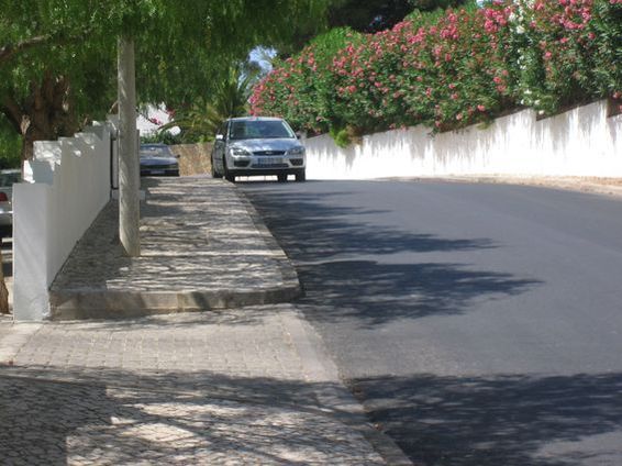
Junction of R.Primeiro de
Maio and R.Dr.Agostinho da Silva (the street
5A faces onto |
|
Route 1 -2 |
 |
|
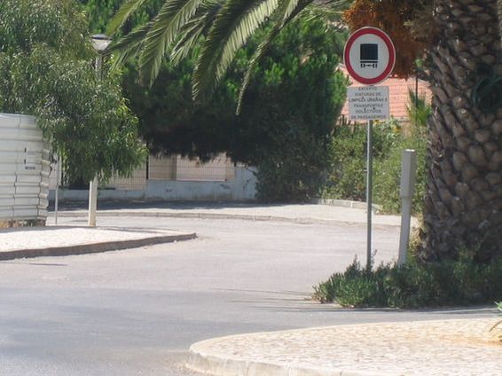
Heading into R.da Escola |
|
Route 1 - 3 |
 |
|
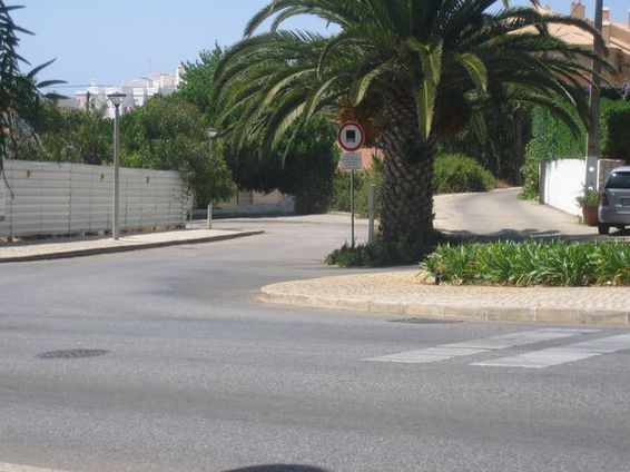
Dog leg right hand turn into
R.da Escola |
|
Route 1 - 4 |
 |
|
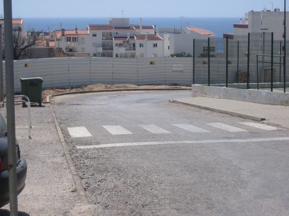
Top of R.da Escola |
|
Route 1 - 5 |
 |
|
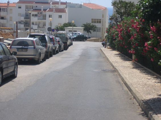
Half way down R.da Escola |
|
Route 1 - 6 |
 |
|
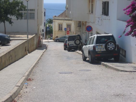
Scene of the Smith sighting |
|
Route 1 - 7 |
.JPG) |
My reasoning for going right
onto R.da Calheta at the bottom of the steps
is that to the left is Kellys Bar as well as
many restaurants which would be heavily
populated at 10-00p.m.
By turning right as can be seen an
"abductor" or someone wanting to dispose of
a body has quick and easy access to the
beach area of PdL which would not have many
people around at that time of night.
Having said that if our mystery man had gone
down the steps toward R.da Calheta, at the
very bottom of the steps is a bar (didn't
get the name of it) that has tables and
chairs outside, so this would most probably
be unlikely. The more opportune route would
have been to turn right onto R.das
Salgadeiras which is located halfway down
the steps between R.25 de Abril and R.da
Calheta.
You can still gain access to the quite beach
areas through some scrubland.
|
|
Junction of R.da Escola &
R.25 de Abril looking down the steps to R.da
Calheta |
|
Route 1 - 8 |
 |
|
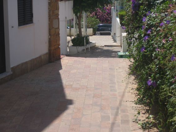
Bottom of the steps (close to
Kellys Bar) looking right up R.da Calheta |
|
Route 1 - 9 |
 |
|
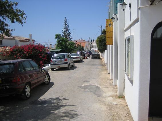
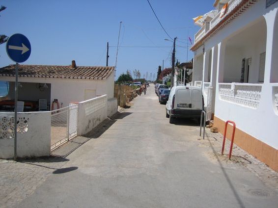
Side streets off R.da Calheta
all leading onto western beach area |
|
Route 1 - 10 to 16
|
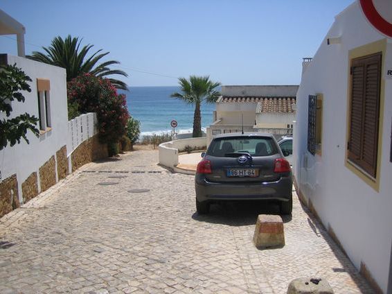 |
|
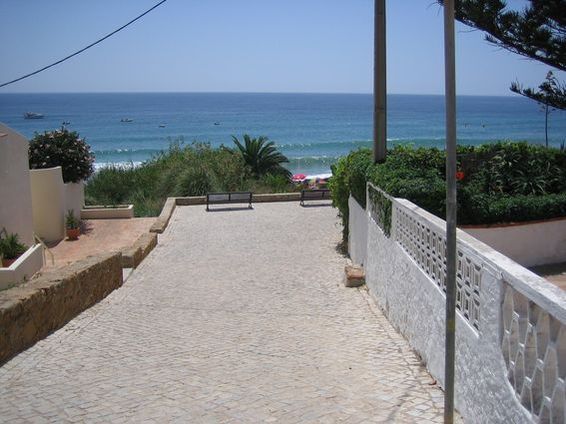
Side streets off R.da Calheta
all leading onto western beach area |
|
Route 1 - 11 to 16 |
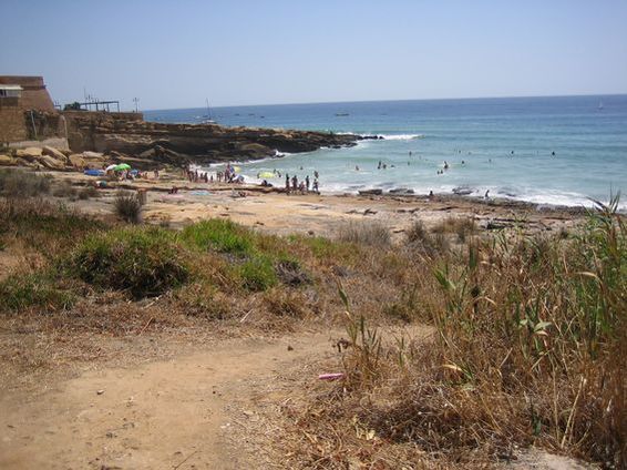 |
|
Side streets off R.da Calheta
all leading onto western beach area |
|
Route 1 - 12 to 16
|
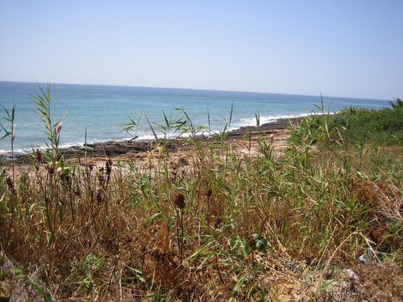 |
|
Side streets off R.da Calheta
all leading onto western beach area |
|
Route 1 - 13 to 16
|
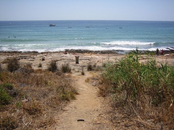 |
|
Side streets off R.da Calheta
all leading onto western beach area |
|
Route 1 - 14 to 16
|
 |
|
Side streets off R.da Calheta
all leading onto western beach area |
|
Route 1 - 15 to 16
|
 |
|
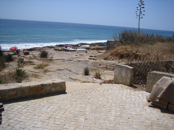
Side streets off R.da Calheta
all leading onto western beach area |
|
Route 1 to 16 |
 |
|
Route 2 as follows; |
|
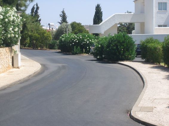
Looking right from apt.
5A up R. Dr. Agostinho da Silva. |
|
Route 2 - 1 |
 |
|
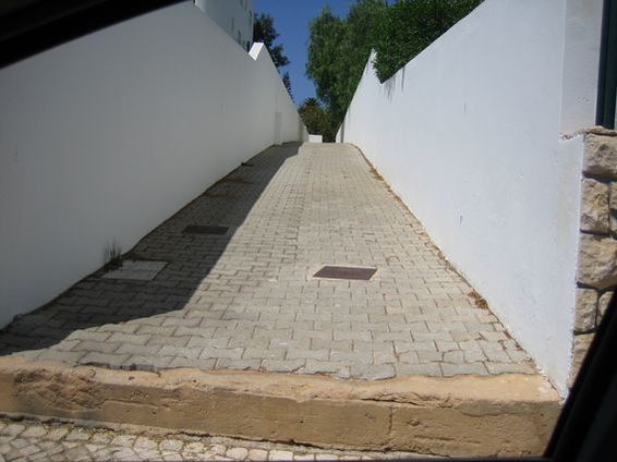
Pedestrian laneway between R.
Dr. Agostinho da Silva and R. do Ramalhete |
|
Route 2 - 2 |
 |
|
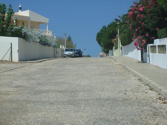
Looking up from the top
of the pedestrian laneway into Urbanizacao
Luzurbe (residential then scrubland further
up the street) |
|
Route 2 - 3 |
 |
|
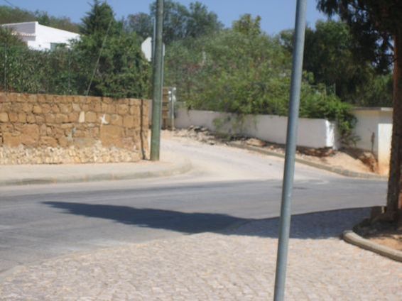
If you follow R. Dr.
Agostinho da Silva around by Casa Liliana
you come to the junction with R. do
Ramalhete, just across from here is a dirt
track, this is the entrance to it. |
|
Route 2 - 4 |
 |
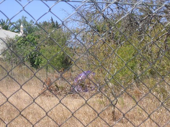
Route 2 - 5 & 6 The dirt
track goes up quite a distance and as can be
seen in 2 - 6 "people" camp out during the
summer months.
It is worth noting that one of these Routes
would be the one that Jane Tanners abductor
would have taken approx. 40 mins before the
more credible smith sighting. What puzzles
me most is that the description on the
clothing of the man in both sightings is so
similar.
Interestingly if there was an abductor and
Jane Tanner had indeed observed him with
Madeleine he could always have left the
apartment and turned right along the route
of her sighting, gone up the pedestrian
laneway and then turned left onto R. do
Ramalhete, continued on to the junction of
R. Primeiro de Maio, straght across onto R.
do Ramalhete and taken a left down the dirt
track / walkway located approx. 150 yards
further up which in turn leads to R. da
Escola, scene of the Smith sighting. Though
this would only have taken approx. 15 - 20
mins which means either Tanners sighting was
closer to 9-35 ish or else that the abductor
had 20 mins unaccounted for with Madeleine. |
|
Route_2-5 |
 |
|
Route 2 - 6
|
 |
|
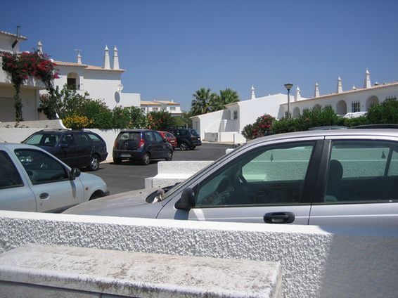
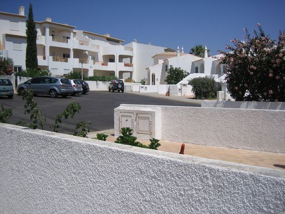
Residential
photos |
|
Residential_1 |
 |
|
Residential_2 |
 |
|
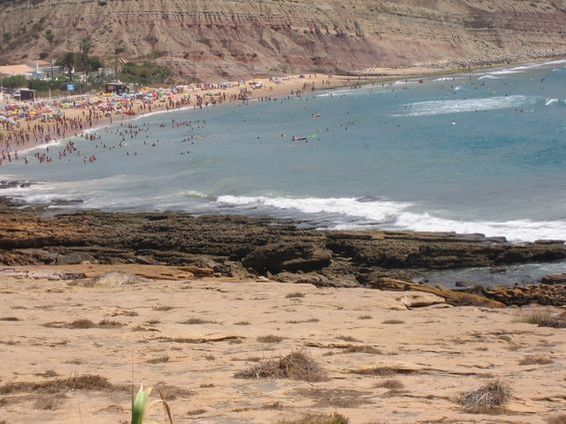
Beach photos |
|
East promontory
|
|
Beach 2 - |
 |
|
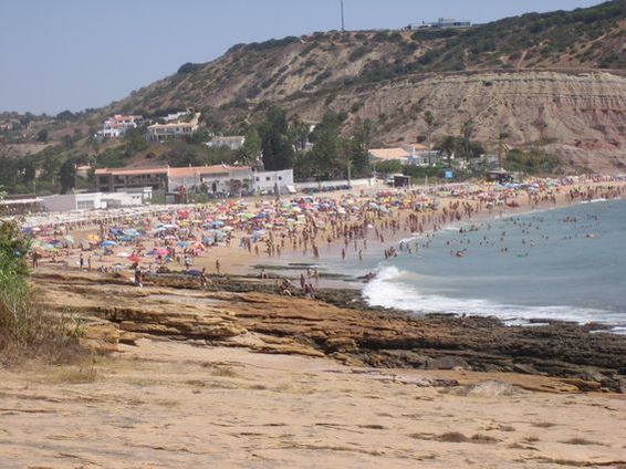
Beach 3 - Close up of the
main tourist beach |
 |
|
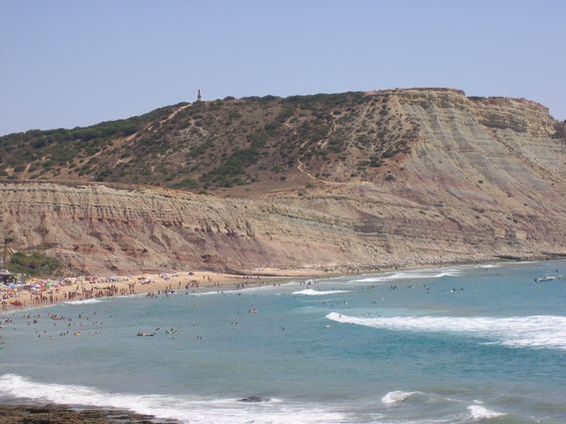
Beach 5 - Panoramic view of
the main beach towards the cliffs |
 |
|
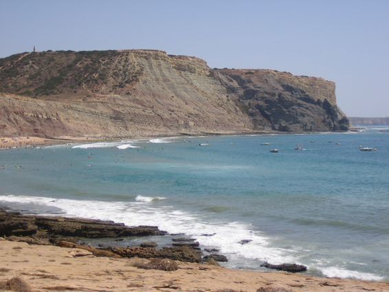
Beach 6 - Panoramic view of
the cliffs from the main beach meeting the
sea |
 |
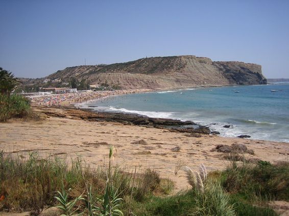
Main beach - Again the main
tourist beach
Main_beach_PdL_1 |
 |
|
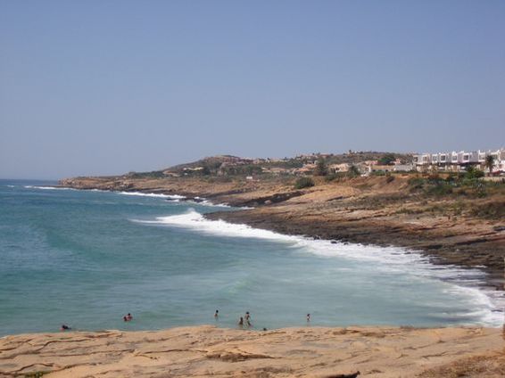
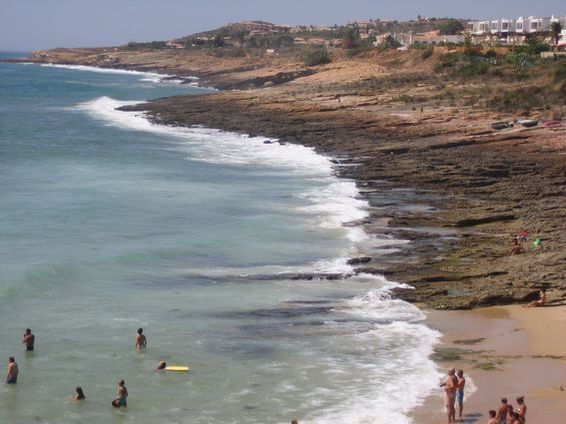
West promontory -
Panoramic view of the western promontory. |
 |
|
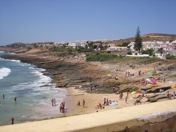
West promontory 2 -
Close up of the western promontory |
 |
|
West promontary 3 - Close up
again |
 |
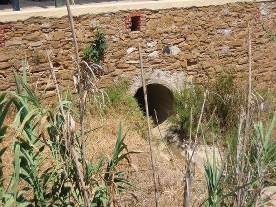
Large drain - There may be
more along the coast though I can't say for
definite.
These photos were taken at the seating area
at the end of Av. dos Pescadores, approx 100
yards below where the church is located.
Large_drains_on_beach_front |
 |
|
Baptista
Supermarket & lamp-posts etc. |
Next set of photos (part 1 of
2) are from the area immediately around apt.
5A, The Baptista Supermarket & lamp-posts
etc.
5A_on_left |
 |
|
Alleyway_runs_horizontal_to_patio_entrance_of_5A |
 |
|
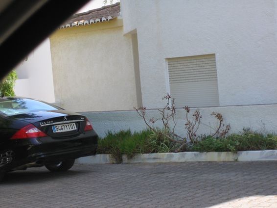
Apt_5A -Kids_bedroom_window |
 |
|
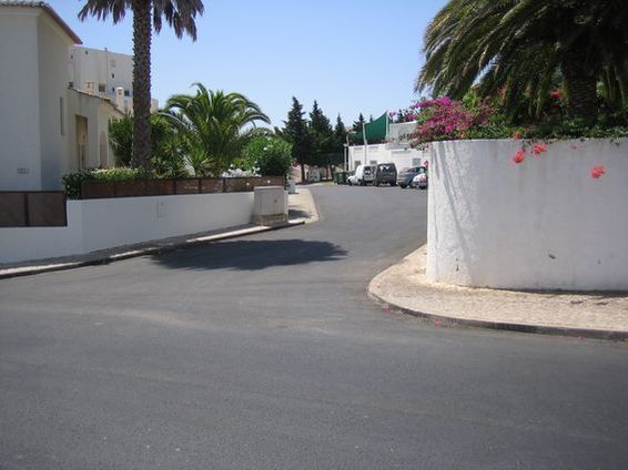
Back_of_Tapas
_Ocean_Club |
 |
|
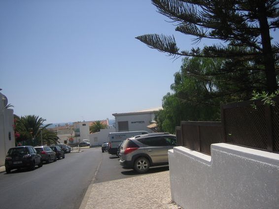
Baptista |
 |
|
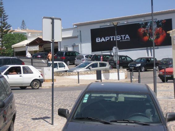
Car_park_baptisita_front_
entrance |
 |
|
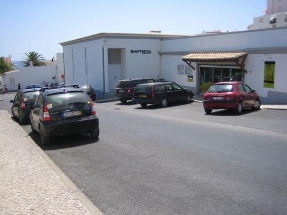
Car_park_Baptista_side_entrance |
 |
|
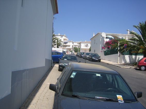
Side_entrance_of_Baptista_looking_up_street_to_5A |
 |
|
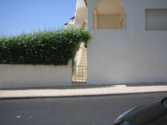
Side_entrance_to_patio_area_of_5A |
 |
|
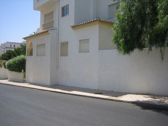
Side_of_5A |
 |
|
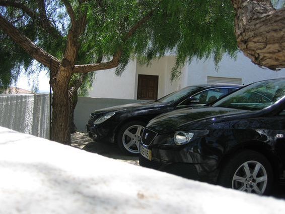
Front_door_5A |
 |
|
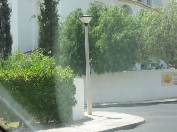
lamp_post_1_of_6 along_the_street |
 |
|
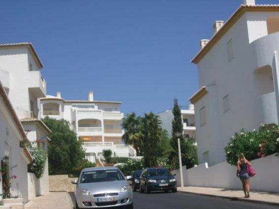
Lamp_post_opposite_side_entrance_of_5A |
 |
|
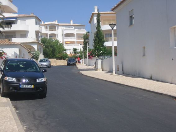
Lamp_posts |
 |
|
Marina & Aerodrome in
Lagos |
|
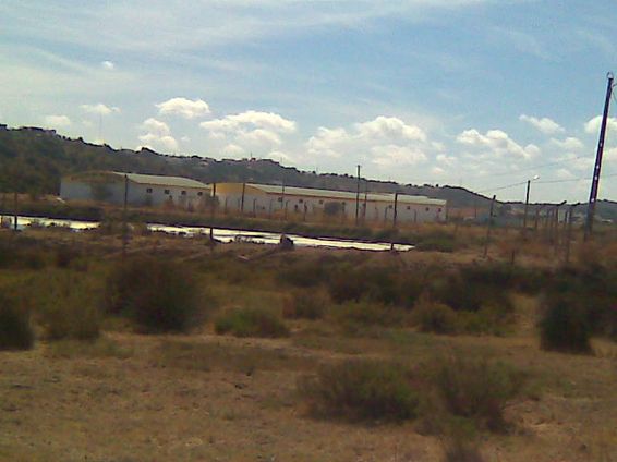
Lagos_aerodrome |
 |
|
Lagos_aerodrome_2 |
 |
|
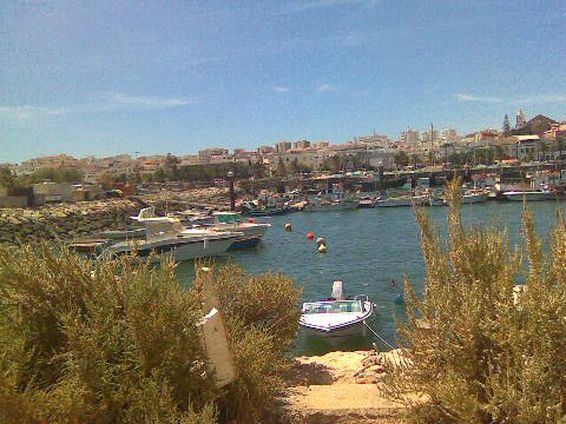
Lagos_fishing_harbour_1 |
 |
|
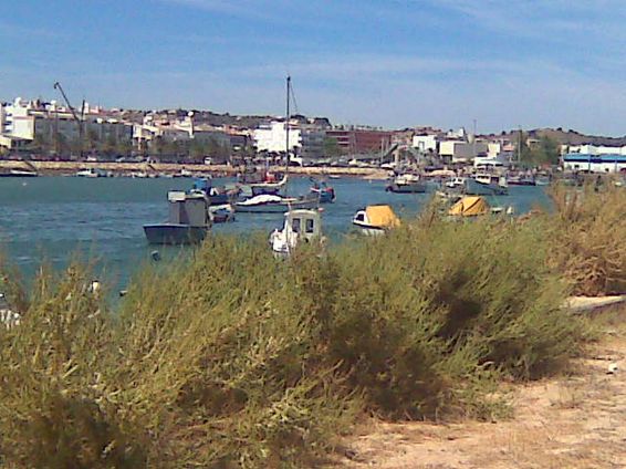
Lagos_fishing_harbour_2 |
 |
|
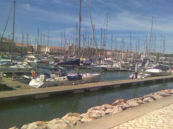
Lagos_Marina_2 |
 |


